Faili:Hempstead-town-map.gif
Hakuna saizi kubwa zaidi.
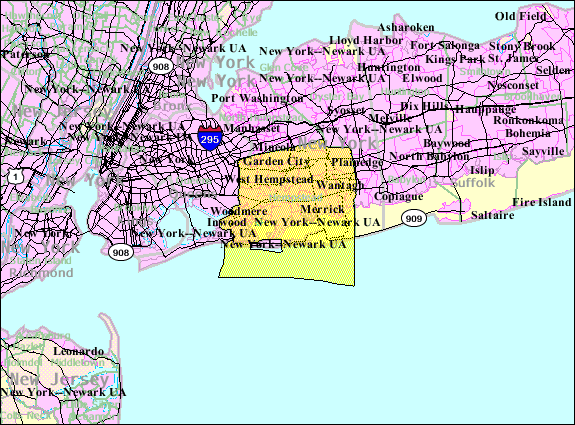
Hempstead-town-map.gif (piseli 575 × 425, saizi ya faili: 67 KB, aina ya MIME: image/gif)
| Faili hili linatoka Wikimedia Commons. Maelezo yapo kule kwenye ukurasa wake wa maelezo unaonekana hapo chini.
|
Muhtasari
| Maelezo | |
| Tarehe | |
| Chanzo | http://factfinder.census.gov |
| Mwandishi | United States Census Bureau |
| Ruhusa (Kutumia faili tena) |
Public domain |
Hatimiliki
This image or file is a work of a United States Census Bureau employee, taken or made as part of that person's official duties. As a work of the U.S. federal government, the image is in the public domain.
|
 |
Kumbukumbu ya upakizaji wa asili
The original description page was here. All following user names refer to en.wikipedia.
- 2007-10-22 23:59 Americasroof 575×425× (69067 bytes) [[Hempstead, New York]] town map from U.S. Census Bureau.
Historia ya faili
Bonyeza tarehe/saa kuona faili kama ilivyoonekana wakati huo.
| Tarehe/Saa | Picha ndogo | Vipimo | Mtumiaji | Maelezo | |
|---|---|---|---|---|---|
| sasa hivi | 05:23, 23 Agosti 2013 | | 575 × 425 (67 KB) | Dcirovic | {{Information |Description={{en|en:U.S. Census 2000 reference map for en:Hempstead (town), New York<br/> en:Category:US Census Bureau maps of New York State}} |Source=Transferred from [http://en.wikipedia.org en.wikipedia]<br/> (Orig... |
Matumizi ya faili
Faili linalofuata ni nakala ya faili hili (maelezo mengine):
Hakuna kurasa zozote zinazotumia faili hii.
Matumizi ya faili ulimwenguni
Wiki nyingine hutumia faili hizi:
- Matumizi kwa sh.wikipedia.org
- Matumizi kwa sr.wikipedia.org