Faili:Austria adm location map.svg

Faili halisi (faili la SVG, husemwa kuwa piseli 1,256 × 700, saizi ya faili: 183 KB)
| Faili hili linatoka Wikimedia Commons. Maelezo yapo kule kwenye ukurasa wake wa maelezo unaonekana hapo chini.
|
Muhtasari
| Maelezo |
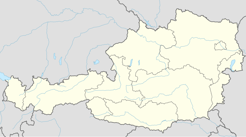
Deutsch: Positionskarte von Österreich
English: Location map of Austria
|
||||||||||||
| Tarehe | |||||||||||||
| Chanzo |
Own work using:
|
||||||||||||
| Mwandishi | NordNordWest | ||||||||||||
| SVG genesis |
|
||||||||||||

Hatimiliki
Usage of this file with:

explanatory notes: Legally binding is only the full legalcode. For a free usage I recommend to respect the following licence conditions:
1. Provide my name as given above: NordNordWest,
2. a copy of, or the URI for, the applicable license: https://creativecommons.org/licenses/by-sa/3.0/de/legalcode,
3. the title of the work,
4. in the case of an adaptation, a credit identifying the use of the work in the adaptation.
This license and the rights granted hereunder will terminate automatically upon any breach by you of the terms of this license. Any of the above conditions can be waived if you get permission from the copyright holder. If you have questions or wish differing conditions, please contact me through nnwest or my discussion page ![]() t-online.de
t-online.de
- Uko huru:
- kushiriki – kunakili na kusambaza kazi hiyo
- kwa remix – kurekebisha kazi
- Chini ya masharti yafuatayo:
- sifa – Ni lazima utoe mkopo unaofaa, utoe kiungo cha leseni, na uonyeshe ikiwa mabadiliko yalifanywa. Unaweza kufanya hivyo kwa njia yoyote inayofaa, lakini si kwa njia yoyote inayopendekeza mtoa leseni akuidhinishe wewe au matumizi yako.

Historia ya faili
Bonyeza tarehe/saa kuona faili kama ilivyoonekana wakati huo.
| Tarehe/Saa | Picha ndogo | Vipimo | Mtumiaji | Maelezo | |
|---|---|---|---|---|---|
| sasa hivi | 19:02, 2 Desemba 2014 | | 1,256 × 700 (183 KB) | NordNordWest | == {{int:filedesc}} == {{Information |Description= {{de|1=Positionskarte von Österreich}} {{en|1=Location map of Austria}} {{Location map series N |stretching=150 |top=49.2 |bottom=46.3 |left=9.4 |right=17.2 }} |Source={{Own using}} * United States Na... |
Matumizi ya faili
Kurasa hizi 10 zimeunganishwa na faili hili:
Matumizi ya faili ulimwenguni
Wiki nyingine hutumia faili hizi:
- Matumizi kwa ab.wikipedia.org
- Matumizi kwa ast.wikipedia.org
- Amstetten
- Viena
- Minihof-Liebau
- Burgruine Starhemberg
- Burgruine Aggstein
- Castiellu d'Ambras
- Donnerskirchen
- Selva de Bohemia
- Salzburgu
- Fugging
- Graz
- Innsbruck
- Linz
- Patrimoniu de la Humanidá n'Austria
- Palaciu Belvedere
- Estadiu Ernst Happel
- Universidá de Viena
- Universidá d'Economía de Viena
- Circuitu d'Österreichring
- Eisenstadt
- Klagenfurt
- Sankt Pölten
- Bregenz
- Módulu:Mapa de llocalización/datos/Austria
- Leibnitz
- Módulu:Mapa de llocalización/datos/Austria/usu
- Fraxern
- Bañu central de Viena
- Berg und Löwenherz
- Aeropuertu de Graz
- Aeropuertu d'Innsbruck
- Aeropuertu de Klagenfurt
- Aeropuertu de Linz
- Catedral de San Esteban de Viena
- Ferrocarril de Mariazell
- Matumizi kwa as.wikipedia.org
- Matumizi kwa azb.wikipedia.org
- Matumizi kwa ban.wikipedia.org
- Matumizi kwa bh.wikipedia.org
- Matumizi kwa bn.wikipedia.org
Tazama matumizi zaidi ya kimataifa ya faili hii.