Faili:Charlesrivermap.png
Ukubwa wa hakikisho: piseli 600 × 600. Ukubwa zingine: piseli 240 × 240 | piseli 480 × 480 | piseli 1,000 × 1,000.
Faili halisi (piseli 1,000 × 1,000, saizi ya faili: 587 KB, aina ya MIME: image/png)
| Faili hili linatoka Wikimedia Commons. Maelezo yapo kule kwenye ukurasa wake wa maelezo unaonekana hapo chini.
|
Muhtasari
| Maelezo | |
| Tarehe | |
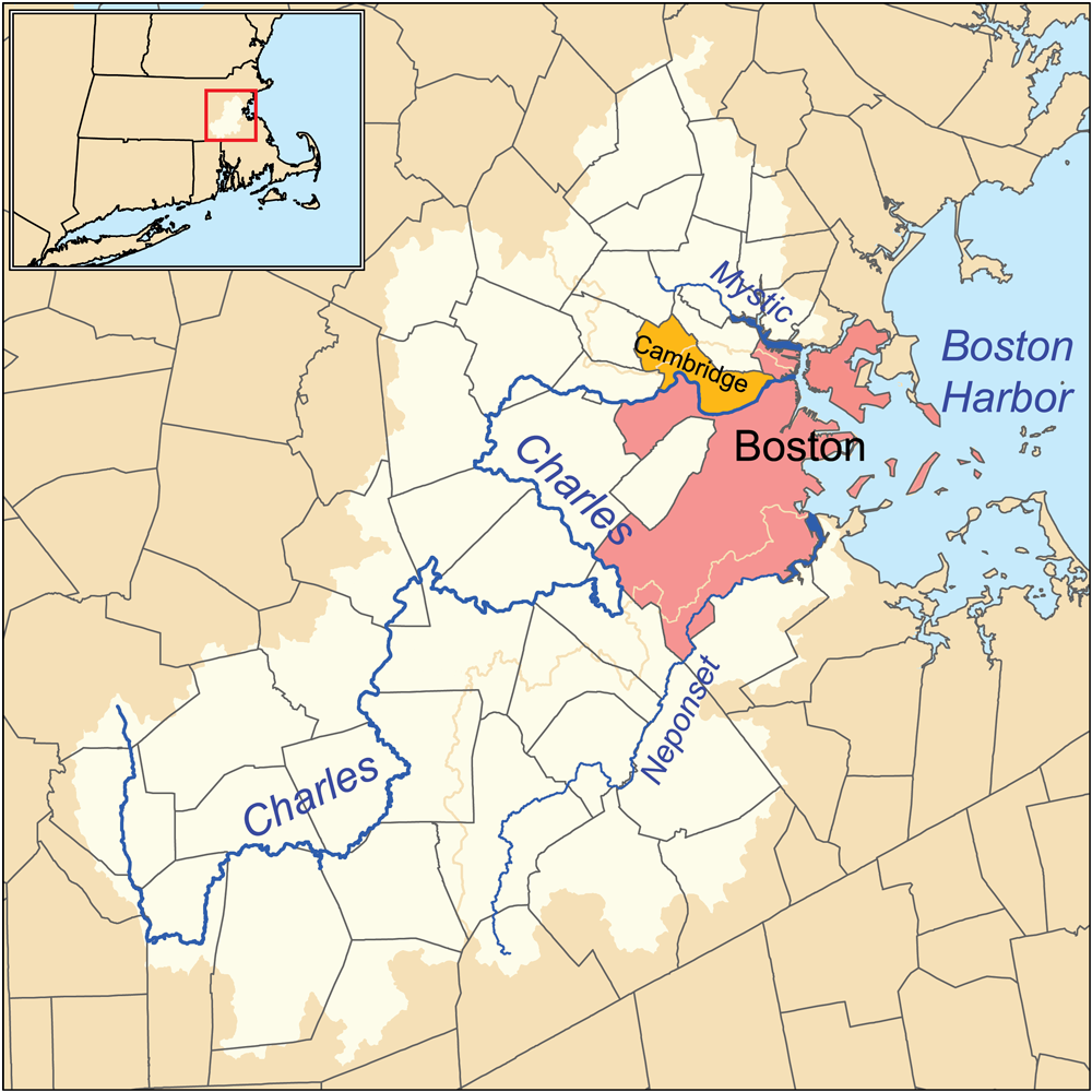
| Chanzo | Kazi yangu. Township data source: Census Bureau [1]. Hydrology data source: National Hydrography Dataset [2]. |
| Mwandishi | Kmusser |
Hatimiliki
I, the copyright holder of this work, hereby publish it under the following license:
Faili hii imeidhinishwa chini ya Creative Commons Attribution- Attribution-Share Alike 3.0 Unported leseni.
- Uko huru:
- kushiriki – kunakili na kusambaza kazi hiyo
- kwa remix – kurekebisha kazi
- Chini ya masharti yafuatayo:
- sifa – Ni lazima utoe mkopo unaofaa, utoe kiungo cha leseni, na uonyeshe ikiwa mabadiliko yalifanywa. Unaweza kufanya hivyo kwa njia yoyote inayofaa, lakini si kwa njia yoyote inayopendekeza mtoa leseni akuidhinishe wewe au matumizi yako.

|
This geology image could be re-created using vector graphics as an SVG file. This has several advantages; see Commons:Media for cleanup for more information. If an SVG form of this image is available, please upload it and afterwards replace this template with
{{vector version available|new image name}}.
It is recommended to name the SVG file “Charlesrivermap.svg”—then the template Vector version available (or Vva) does not need the new image name parameter. |
Historia ya faili
Bonyeza tarehe/saa kuona faili kama ilivyoonekana wakati huo.
| Tarehe/Saa | Picha ndogo | Vipimo | Mtumiaji | Maelezo | |
|---|---|---|---|---|---|
| sasa hivi | 15:53, 4 Machi 2010 | | 1,000 × 1,000 (587 KB) | Kmusser | correction to Charles headwaters, increased resolution and other minor changes |
| 22:34, 23 Januari 2007 |  | 500 × 500 (166 KB) | Kmusser | This is a map of the Charles, Mystic, and Neponset watersheds. I, Karl Musser, created it based on USGS and [[:en:United States Census Bureau|Census Burea |
Matumizi ya faili
Ukurasa huu umeunganishwa na faili hili:
Matumizi ya faili ulimwenguni
Wiki nyingine hutumia faili hizi:
- Matumizi kwa ar.wikipedia.org
- Matumizi kwa arz.wikipedia.org
- Matumizi kwa be.wikipedia.org
- Matumizi kwa bg.wikipedia.org
- Matumizi kwa ca.wikipedia.org
- Matumizi kwa da.wikipedia.org
- Matumizi kwa de.wikipedia.org
- Matumizi kwa en.wikipedia.org
- Matumizi kwa eo.wikipedia.org
- Matumizi kwa es.wikipedia.org
- Matumizi kwa et.wikipedia.org
- Matumizi kwa fr.wikipedia.org
- Matumizi kwa fy.wikipedia.org
- Matumizi kwa gl.wikipedia.org
- Matumizi kwa he.wikipedia.org
- Matumizi kwa hr.wikipedia.org
- Matumizi kwa it.wikipedia.org
- Matumizi kwa ja.wikipedia.org
- Matumizi kwa ml.wikipedia.org
- Matumizi kwa nl.wikipedia.org
- Matumizi kwa no.wikipedia.org
- Matumizi kwa pl.wikipedia.org
- Matumizi kwa pt.wikipedia.org
- Matumizi kwa ru.wikipedia.org
- Matumizi kwa sh.wikipedia.org
- Matumizi kwa simple.wikipedia.org
- Matumizi kwa tr.wikipedia.org
- Matumizi kwa uk.wikipedia.org
- Matumizi kwa www.wikidata.org
- Matumizi kwa zh.wikipedia.org