Faili:China edcp location map.svg

Size of this PNG preview of this SVG file: piseli 512 × 408. Ukubwa zingine: piseli 301 × 240 | piseli 602 × 480 | piseli 964 × 768 | piseli 1,280 × 1,020 | piseli 2,560 × 2,040.
Faili halisi (faili la SVG, husemwa kuwa piseli 512 × 408, saizi ya faili: 2.56 MB)
| Faili hili linatoka Wikimedia Commons. Maelezo yapo kule kwenye ukurasa wake wa maelezo unaonekana hapo chini.
|
Muhtasari
| Maelezo |
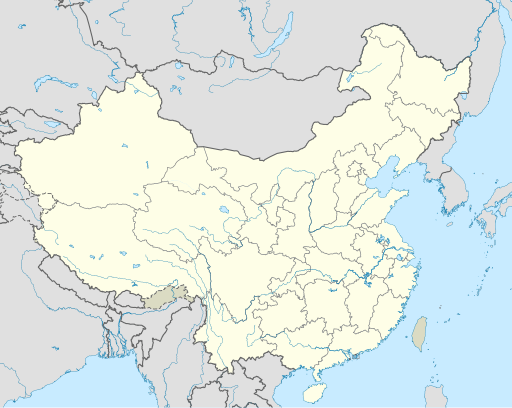
English: Location map of China.
EquiDistantConicProjection : Central parallel :
Central meridian :
Standard parallels:
Latitudes on the central meridian :
|
| Tarehe | |
| Chanzo | Kazi yangu |
| Mwandishi | Uwe Dedering |
| Matoleo mengine |
Derivative works of this file:
|
| SVG genesis | This W3C-invalid map was created with Adobe Illustrator, and with Inkscape. |

Hatimiliki
I, the copyright holder of this work, hereby publish it under the following licenses:
Faili hii imeidhinishwa chini ya Creative Commons Attribution- Attribution-Share Alike 3.0 Unported leseni.
- Uko huru:
- kushiriki – kunakili na kusambaza kazi hiyo
- kwa remix – kurekebisha kazi
- Chini ya masharti yafuatayo:
- sifa – Ni lazima utoe mkopo unaofaa, utoe kiungo cha leseni, na uonyeshe ikiwa mabadiliko yalifanywa. Unaweza kufanya hivyo kwa njia yoyote inayofaa, lakini si kwa njia yoyote inayopendekeza mtoa leseni akuidhinishe wewe au matumizi yako.

|
Ruhusa inakubalika kunakili, kusambaza na/au kurekebisha chini ya matakwa ya GNU Free Documentation License, Toleo 1.2 au toleo lolote lile la baadaye ambalo litachapishwa na Free Software Foundation; lisilo na Sehemu Tofauti, lisilo na Maandishi-Kava-Kwa-Mbele, na lisilo na Maandishi-Kava-Kwa -Nyuma. Nakala ya hatimiliki inajumlishwa kwenye sehemu ilioitwa GNU Free Documentation License. |
Unaweza kuchagua leseni ya chaguo lako.
Historia ya faili
Bonyeza tarehe/saa kuona faili kama ilivyoonekana wakati huo.
| Tarehe/Saa | Picha ndogo | Vipimo | Mtumiaji | Maelezo | |
|---|---|---|---|---|---|
| sasa hivi | 04:10, 13 Desemba 2021 | | 512 × 408 (2.56 MB) | Maanshen | Update borders and land reclamation. |
| 02:44, 31 Oktoba 2021 |  | 512 × 408 (2.54 MB) | Not logging in | Fix colored path shown as land in XInjiang and Gansu. | |
| 02:41, 31 Oktoba 2021 |  | 512 × 408 (2.54 MB) | Not logging in | FIx | |
| 02:35, 31 Oktoba 2021 |  | 512 × 408 (2.54 MB) | Not logging in | Corrected borders for Xinjiang, Qinghai, and Gansu provincial borders per request, see NordNordWest's talk page | |
| 12:32, 29 Machi 2021 |  | 512 × 408 (2.36 MB) | 瑞丽江的河水 | Reverted to version as of 09:13, 22 February 2021 (UTC), disputed area, special color | |
| 07:40, 29 Machi 2021 |  | 1,181 × 940 (4.07 MB) | Turbo Slayer 2021 | Reverted to version as of 02:23, 28 March 2021 (UTC)Firstly, Taiwan is not a part of China cause the Government of Taiwan is Republic of China. Southern Tibet is a part of India not China. That's all | |
| 14:08, 28 Machi 2021 |  | 512 × 408 (2.36 MB) | 瑞丽江的河水 | Reverted to version as of 09:13, 22 February 2021 (UTC) | |
| 02:23, 28 Machi 2021 |  | 1,181 × 940 (4.07 MB) | Turbo Slayer 2021 | Reverted to version as of 20:14, 31 August 2011 (UTC) | |
| 09:13, 22 Februari 2021 |  | 512 × 408 (2.36 MB) | DokiDonkey | Fix | |
| 09:23, 19 Februari 2021 |  | 512 × 408 (2.34 MB) | DokiDonkey | Change Trans-Karakoram Tract |
Matumizi ya faili
Kurasa hizi 2 zimeunganishwa na faili hili:
Matumizi ya faili ulimwenguni
Wiki nyingine hutumia faili hizi:
- Matumizi kwa ace.wikipedia.org
- Matumizi kwa af.wikipedia.org
- Nanjing
- Groot Muur van China
- Sjabloon:Liggingkaart Volksrepubliek China
- Shangqiu
- Dongguan
- Wenzhou
- Zibo
- Suzhou, Jiangsu
- Kaifeng
- Qingdao
- Xiamen
- Shantou
- Wuxi
- Quanzhou
- Shijiazhuang
- Changsha
- Hefei
- Kunming
- Tangshan
- Ningbo
- Fuzhou
- Changzhou
- Taizhou, Zhejiang
- Ürümqi
- Guiyang
- Xuzhou
- Nanchang
- Lanzhou
- Anshan
- Yangzhou
- Nantong
- Hohhot
- Jilin (stad)
- Huainan
- Linyi
- Xiangtan
- Huizhou
- Baotou
- Nanyang
- Baoding
- Liuzhou
- Tai'an
- Fuyang
- Jiangmen
- Yinchuan
- Weifang
- Zhuhai
- Huangshi
Tazama matumizi zaidi ya kimataifa ya faili hii.