Faili:Namibia location map.svg

Size of this PNG preview of this SVG file: piseli 623 × 600. Ukubwa zingine: piseli 249 × 240 | piseli 498 × 480 | piseli 797 × 768 | piseli 1,063 × 1,024 | piseli 2,127 × 2,048 | piseli 1,300 × 1,252.
Faili halisi (faili la SVG, husemwa kuwa piseli 1,300 × 1,252, saizi ya faili: 196 KB)
| Faili hili linatoka Wikimedia Commons. Maelezo yapo kule kwenye ukurasa wake wa maelezo unaonekana hapo chini.
|
Muhtasari
| Maelezo |
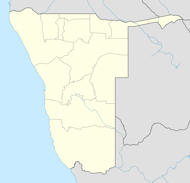
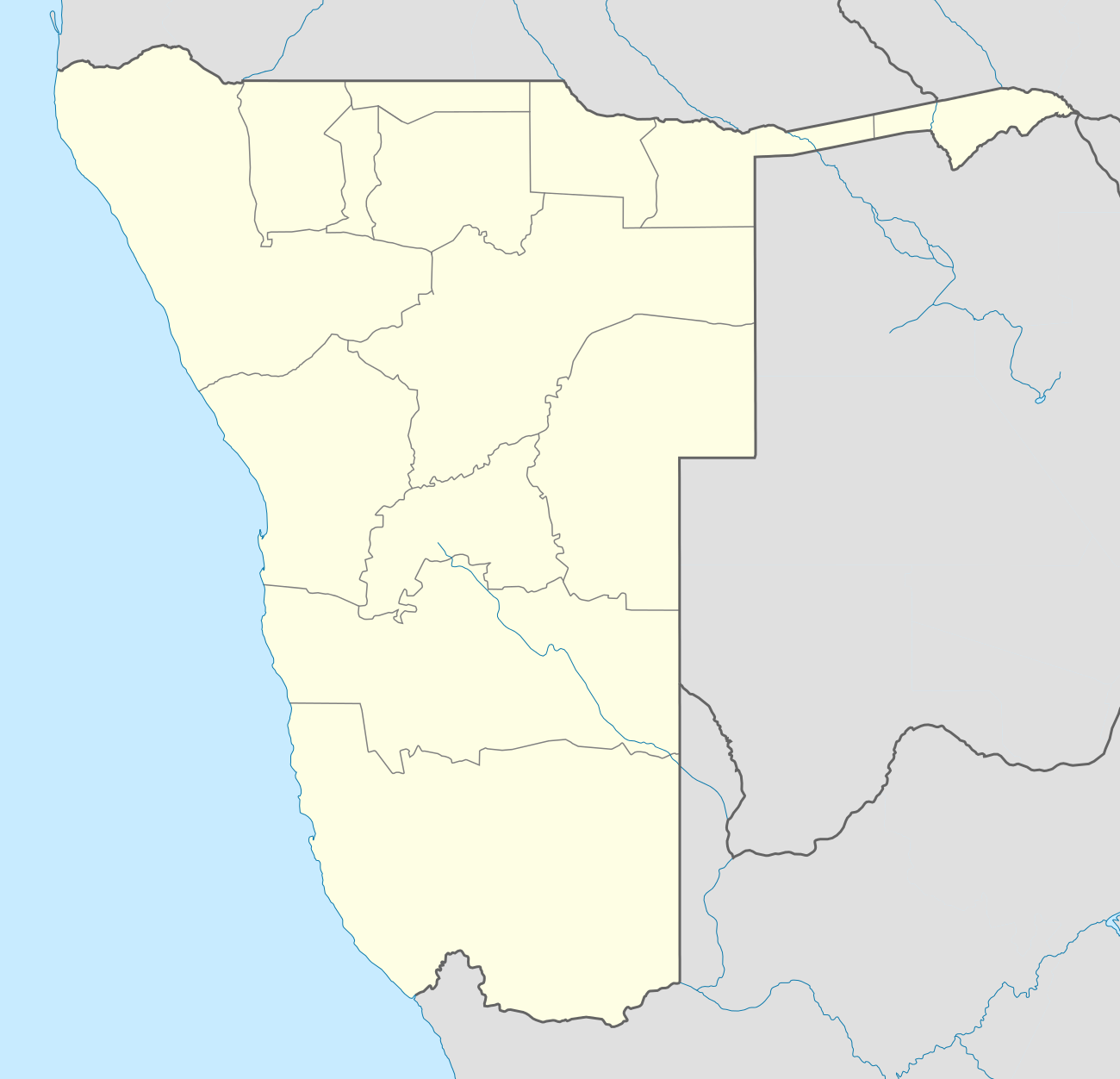
Deutsch: Location map of Namibia
Equirectangular projection. Strechted by 108.0%. Geographic limits of the map:
|
| Tarehe | |
| Chanzo | Kazi yangu |
| Mwandishi | Uwe Dedering |
| Matoleo mengine |
|

Hatimiliki
Uwe Dedering at Kijerumani Wikipedia, the copyright holder of this work, hereby publishes it under the following licenses:

|
Ruhusa inakubalika kunakili, kusambaza na/au kurekebisha chini ya matakwa ya GNU Free Documentation License, Toleo 1.2 au toleo lolote lile la baadaye ambalo litachapishwa na Free Software Foundation; lisilo na Sehemu Tofauti, lisilo na Maandishi-Kava-Kwa-Mbele, na lisilo na Maandishi-Kava-Kwa -Nyuma. Nakala ya hatimiliki inajumlishwa kwenye sehemu ilioitwa GNU Free Documentation License. |
Faili hii imeidhinishwa chini ya Creative Commons Attribution- Attribution-Share Alike 3.0 Unported leseni.
Sifa: Uwe Dedering at Kijerumani Wikipedia
- Uko huru:
- kushiriki – kunakili na kusambaza kazi hiyo
- kwa remix – kurekebisha kazi
- Chini ya masharti yafuatayo:
- sifa – Ni lazima utoe mkopo unaofaa, utoe kiungo cha leseni, na uonyeshe ikiwa mabadiliko yalifanywa. Unaweza kufanya hivyo kwa njia yoyote inayofaa, lakini si kwa njia yoyote inayopendekeza mtoa leseni akuidhinishe wewe au matumizi yako.
This file is licensed under the Creative Commons Attribution-Share Alike 3.0 Germany license.
Sifa: Uwe Dedering at Kijerumani Wikipedia
- Uko huru:
- kushiriki – kunakili na kusambaza kazi hiyo
- kwa remix – kurekebisha kazi
- Chini ya masharti yafuatayo:
- sifa – Ni lazima utoe mkopo unaofaa, utoe kiungo cha leseni, na uonyeshe ikiwa mabadiliko yalifanywa. Unaweza kufanya hivyo kwa njia yoyote inayofaa, lakini si kwa njia yoyote inayopendekeza mtoa leseni akuidhinishe wewe au matumizi yako.

Unaweza kuchagua leseni ya chaguo lako.
Kumbukumbu ya upakizaji wa asili
Transferred from de.wikipedia to Commons by Uwe Dedering.
The original description page was here. All following user names refer to de.wikipedia.
- 2010-02-16 11:11 Uwe Dedering 1300×1252× (303033 bytes) {{Information |Beschreibung = Location map of Namibia Equirectangular projection. Strechted by 108.0%. Geographic limits of the map: * N: -16.0° N * S: -29.0° N * W: 11.0° E * E: 25.0° E Made with Natural Earth. Free vector and raster map data
Historia ya faili
Bonyeza tarehe/saa kuona faili kama ilivyoonekana wakati huo.
| Tarehe/Saa | Picha ndogo | Vipimo | Mtumiaji | Maelezo | |
|---|---|---|---|---|---|
| sasa hivi | 18:57, 12 Oktoba 2013 | | 1,300 × 1,252 (196 KB) | NordNordWest | upd |
| 21:50, 16 Februari 2010 |  | 1,300 × 1,252 (296 KB) | Uwe Dedering | {{Information |Description={{de|Location map of Namibia Equirectangular projection. Strechted by 108.0%. Geographic limits of the map: * N: -16.4° N * S: -29.6° N * W: 11.0° E * E: 25.8° E Made with Natural Earth. Free vector and raster map data @ nat |
Matumizi ya faili
Kurasa hizi 18 zimeunganishwa na faili hili:
Matumizi ya faili ulimwenguni
Wiki nyingine hutumia faili hizi:
- Matumizi kwa af.wikipedia.org
- Walvisbaai
- Oranjemund
- Karasburg
- Omaruru
- Karibib
- Usakos
- Otjiwarongo
- Keetmanshoop
- Olifantsrivier
- Mariental
- Maltahöhe
- Hentiesbaai
- Langstrand
- Grootfontein
- Vaalgras
- Rehoboth
- Rundu
- Gobabis
- Warmbad, Namibië
- Tsumeb
- Bethanie
- Otjimbingwe
- Seeheim
- Sjabloon:Liggingkaart Namibië
- Fransfontein
- Omuthiya
- Luhonono
- Namibwoestyn
- Noordoewer
- Arandis
- Aranos
- Kalkfeld
- Outjo
- Otavi
- Witvlei
- Oshakati
- Brukkaros
- Aus
- Asab
- Okahandja
- Suid-Afrikaanse Lugdiens-vlug 228
- Ramansdrift
- Hosea Kutako Internasionale Lughawe
- Windhoek Eros-lughawe
- Walvisbaai-lughawe
- Grootfonteinlughawe
- Katima Mulilo-lughawe
- Ondangwa
- Katima Mulilo
- Gochas
Tazama matumizi zaidi ya kimataifa ya faili hii.