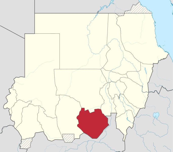
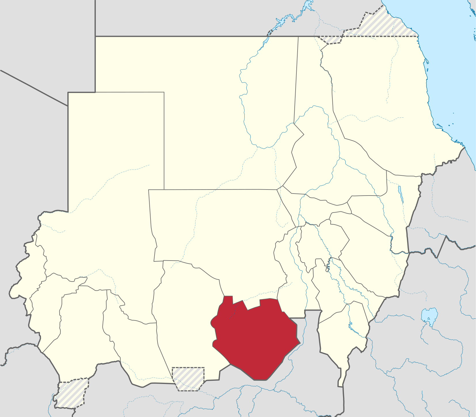
Faili:South Kurdufan in Sudan (Kafia Kingi disputed).svg

Size of this PNG preview of this SVG file: piseli 684 × 600. Ukubwa zingine: piseli 274 × 240 | piseli 548 × 480 | piseli 876 × 768 | piseli 1,168 × 1,024 | piseli 2,336 × 2,048 | piseli 1,654 × 1,450.
Faili halisi (faili la SVG, husemwa kuwa piseli 1,654 × 1,450, saizi ya faili: 353 KB)
| Faili hili linatoka Wikimedia Commons. Maelezo yapo kule kwenye ukurasa wake wa maelezo unaonekana hapo chini.
|
Muhtasari
.svg)
.svg)
.svg)
.svg)
.svg)
.svg)
.svg)

-en.svg)

.svg)
.svg)
.svg)

_(US48).svg)
_(small_islands_magnified)_(-mini_map_-rivers).svg)
.svg)
_(extra_close)_(US48).svg)
.svg)
_(zoom).svg)

.svg)


_(UNMIK).svg)
.svg)
_(disputed_hatched).svg)
_(claimed_and_disputed_hatched).svg)
.svg)
.svg)
_(%2Ball_claims_hatched).svg)

.svg)
_(shade).svg)
_(shade)_(special_marker).svg)
_(-mini_map).svg)
_(-mini_map).svg)
_(-mini_map).svg)


.svg)

.svg)
.svg)
Hatimiliki
I, the copyright holder of this work, hereby publish it under the following license:
Faili hii imeidhinishwa chini ya Creative Commons Attribution- Attribution-Share Alike 3.0 Unported leseni.
- Uko huru:
- kushiriki – kunakili na kusambaza kazi hiyo
- kwa remix – kurekebisha kazi
- Chini ya masharti yafuatayo:
- sifa – Ni lazima utoe mkopo unaofaa, utoe kiungo cha leseni, na uonyeshe ikiwa mabadiliko yalifanywa. Unaweza kufanya hivyo kwa njia yoyote inayofaa, lakini si kwa njia yoyote inayopendekeza mtoa leseni akuidhinishe wewe au matumizi yako.

|
I'd greatly appreciate, that you attribute this media file to Wikimedia Commons, if used outside Wikipedia or Commons. For use in publications such as books, newspapers, blogs, websites, please insert here the following line:
|
.svg&action=edit&redlink=1)
Historia ya faili
Bonyeza tarehe/saa kuona faili kama ilivyoonekana wakati huo.
| Tarehe/Saa | Picha ndogo | Vipimo | Mtumiaji | Maelezo | |
|---|---|---|---|---|---|
| sasa hivi | 05:33, 28 Juni 2017 | | 1,654 × 1,450 (353 KB) | SUM1 | Reverted to version as of 17:30, 4 October 2014 (UTC) |
| 18:12, 4 Oktoba 2014 |  | 1,654 × 1,450 (345 KB) | TUBS | Rv. Maybe you are right. But plz correct File:Sudan location map.svg before. The locator map only mirrorrs borders of the location map | |
| 17:30, 4 Oktoba 2014 |  | 1,654 × 1,450 (353 KB) | Leftcry | Reverted to version as of 23:42, 17 September 2013 | |
| 21:42, 18 Septemba 2013 |  | 1,654 × 1,450 (345 KB) | TUBS | Reverted to version as of 21:55, 28 January 2013 plz correct location map before and provide sources | |
| 23:42, 17 Septemba 2013 |  | 1,654 × 1,450 (353 KB) | Spesh531 | west kurdufan reformed | |
| 21:55, 28 Januari 2013 |  | 1,654 × 1,450 (345 KB) | TUBS | ||
| 16:36, 23 Novemba 2011 |  | 1,654 × 1,450 (685 KB) | TUBS |
Matumizi ya faili
Ukurasa huu umeunganishwa na faili hili:
Matumizi ya faili ulimwenguni
Wiki nyingine hutumia faili hizi:
- Matumizi kwa ar.wikipedia.org
- Matumizi kwa arz.wikipedia.org
- Matumizi kwa azb.wikipedia.org
- Matumizi kwa bg.wikipedia.org
- Matumizi kwa bn.wikipedia.org
- Matumizi kwa ca.wikipedia.org
- Matumizi kwa cs.wikipedia.org
- Matumizi kwa din.wikipedia.org
- Matumizi kwa en.wikipedia.org
- Matumizi kwa eo.wikipedia.org
- Matumizi kwa es.wikipedia.org
- Matumizi kwa fa.wikipedia.org
- Matumizi kwa fi.wikipedia.org
- Matumizi kwa frr.wikipedia.org
- Matumizi kwa fr.wikipedia.org
- Matumizi kwa ha.wikipedia.org
- Matumizi kwa he.wikipedia.org
- Matumizi kwa hu.wikipedia.org
- Matumizi kwa hy.wikipedia.org
- Matumizi kwa ig.wikipedia.org
- Matumizi kwa io.wikipedia.org
- Matumizi kwa ja.wikipedia.org
- Matumizi kwa ka.wikipedia.org
- Matumizi kwa ko.wikipedia.org
- Matumizi kwa lv.wikipedia.org
- Matumizi kwa nl.wikipedia.org
- Matumizi kwa pl.wikipedia.org
- Matumizi kwa pl.wikivoyage.org
- Matumizi kwa pnb.wikipedia.org
- Matumizi kwa pt.wikipedia.org
- Matumizi kwa ro.wikipedia.org
- Matumizi kwa ru.wikipedia.org
- Matumizi kwa sh.wikipedia.org
- Matumizi kwa sr.wikipedia.org
- Matumizi kwa sv.wikipedia.org
- Matumizi kwa ts.wikipedia.org
- Matumizi kwa uk.wikipedia.org
- Matumizi kwa ur.wikipedia.org
- Matumizi kwa vi.wikipedia.org
- Matumizi kwa www.wikidata.org
Tazama matumizi zaidi ya kimataifa ya faili hii.
.svg)
.svg)