Faili:Carte du Québec au sein du Canada.svg

Size of this PNG preview of this SVG file: piseli 707 × 600. Ukubwa zingine: piseli 283 × 240 | piseli 566 × 480 | piseli 905 × 768 | piseli 1,207 × 1,024 | piseli 2,414 × 2,048 | piseli 1,083 × 919.
Faili halisi (faili la SVG, husemwa kuwa piseli 1,083 × 919, saizi ya faili: 80 KB)
| Faili hili linatoka Wikimedia Commons. Maelezo yapo kule kwenye ukurasa wake wa maelezo unaonekana hapo chini.
|
Muhtasari
| Maelezo | |
| Tarehe | (UTC) |
| Chanzo |
Kazi yangu. Source :
|
| Mwandishi | Sémhur (talk) |
| Matoleo mengine |
Derivative works of this file: |
| SVG genesis | |
| Sifa (required by the license) | © Sémhur / Wikimedia Commons / |
.svg)
| Camera location | | View this and other nearby images on: OpenStreetMap |
|---|
Hatimiliki
I, the copyright holder of this work, hereby publish it under the following licenses:
| Copyleft: This work of art is free; you can redistribute it and/or modify it according to terms of the Free Art License. You will find a specimen of this license on the Copyleft Attitude site as well as on other sites. |
This file is licensed under the Creative Commons Attribution-Share Alike 4.0 International, 3.0 Unported, 2.5 Generic, 2.0 Generic and 1.0 Generic license.
- Uko huru:
- kushiriki – kunakili na kusambaza kazi hiyo
- kwa remix – kurekebisha kazi
- Chini ya masharti yafuatayo:
- sifa – Ni lazima utoe mkopo unaofaa, utoe kiungo cha leseni, na uonyeshe ikiwa mabadiliko yalifanywa. Unaweza kufanya hivyo kwa njia yoyote inayofaa, lakini si kwa njia yoyote inayopendekeza mtoa leseni akuidhinishe wewe au matumizi yako.
Unaweza kuchagua leseni ya chaguo lako.
Historia ya faili
Bonyeza tarehe/saa kuona faili kama ilivyoonekana wakati huo.
| Tarehe/Saa | Picha ndogo | Vipimo | Mtumiaji | Maelezo | |
|---|---|---|---|---|---|
| sasa hivi | 17:09, 7 Desemba 2014 | | 1,083 × 919 (80 KB) | Sémhur | Valid SVG |
| 14:56, 8 Desemba 2011 |  | 1,083 × 919 (80 KB) | Riba | Minor corrections of colors. | |
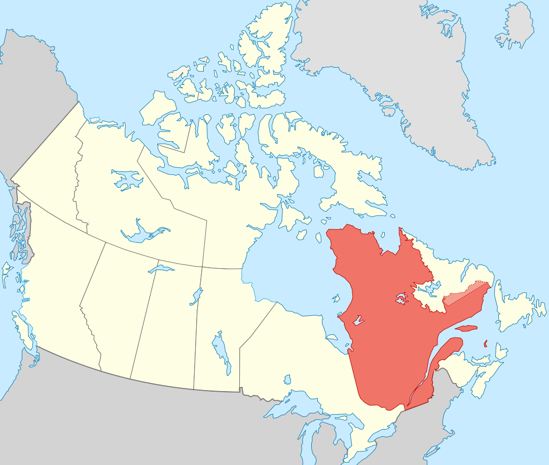
| 19:51, 27 Septemba 2011 |  | 1,083 × 919 (75 KB) | Sémhur | == {{int:filedesc}} == {{Information |Description={{Multilingual description |en= Blank map showing en:Québec in Canada, in red, with the disputed area between Quebec and Labrador, in pink. |fr= Carte montrant le fr:Québec au sein du Canada, |
Matumizi ya faili
Hakuna kurasa zozote zinazotumia faili hii.
Matumizi ya faili ulimwenguni
Wiki nyingine hutumia faili hizi:
- Matumizi kwa af.wikipedia.org
- Matumizi kwa ang.wikipedia.org
- Matumizi kwa arc.wikipedia.org
- Matumizi kwa bat-smg.wikipedia.org
- Matumizi kwa br.wikipedia.org
- Matumizi kwa co.wikipedia.org
- Matumizi kwa cr.wikipedia.org
- Matumizi kwa el.wikipedia.org
- Matumizi kwa el.wikivoyage.org
- Matumizi kwa eo.wikipedia.org
- Matumizi kwa eo.wikinews.org
- Matumizi kwa es.wikipedia.org
- Matumizi kwa et.wikipedia.org
- Matumizi kwa fiu-vro.wikipedia.org
- Matumizi kwa fo.wikipedia.org
- Matumizi kwa fr.wikipedia.org
- Matumizi kwa gag.wikipedia.org
- Matumizi kwa gl.wikipedia.org
- Matumizi kwa gv.wikipedia.org
- Matumizi kwa hak.wikipedia.org
- Matumizi kwa ha.wikipedia.org
- Matumizi kwa hy.wikipedia.org
- Matumizi kwa incubator.wikimedia.org
- Matumizi kwa it.wikivoyage.org
- Matumizi kwa ja.wikipedia.org
- Matumizi kwa ka.wikipedia.org
- Matumizi kwa kw.wikipedia.org
- Matumizi kwa lb.wikipedia.org
- Matumizi kwa lv.wikipedia.org
- Matumizi kwa mi.wikipedia.org
- Matumizi kwa nds-nl.wikipedia.org
- Matumizi kwa no.wikipedia.org
- Matumizi kwa nrm.wikipedia.org
- Matumizi kwa pap.wikipedia.org
- Matumizi kwa pa.wikipedia.org
- Matumizi kwa pcd.wikipedia.org
- Matumizi kwa pl.wikipedia.org
- Matumizi kwa pt.wikipedia.org
- Matumizi kwa qu.wikipedia.org
- Matumizi kwa ro.wikipedia.org
- Matumizi kwa ru.wiktionary.org
- Matumizi kwa sco.wikipedia.org
- Matumizi kwa sl.wikipedia.org
Tazama matumizi zaidi ya kimataifa ya faili hii.